Obscure Rivers
Words by Nicole Cordingley, Photos by Chloe Jimenez
As Utah’s record-setting winter snowpack began to thaw, Stio Ambassador Nicole Cordingley and her friends found a river rat’s dream—ephemeral desert rivers that rarely see a paddle, revived by the rush of spring snowmelt.
“A river is a continuous avalanche.” I’ve never forgotten those words, shared by a Swiftwater Safety instructor as we prepared to dive into an icy, snowmelt-swollen river for rescue swimming practice. Sometimes the river-as-avalanche analogy inspires fear, sometimes inspiration.
As the snowfall stacked up in Utah’s Cottonwood Canyons this winter, creeping over 900 inches, that line came to mind. This time it was a fun reminder that the end of ski season meant the start of river season.
Utah broke snowpack records this year. As winter reluctantly gave way to spring, snow water equivalent remained well above normal in all of Utah’s river basins. Creekbeds that had run bone-dry for seasons would be flowing with snowmelt. My pack of river rats started dreaming—it would be the perfect year to run something obscure in the desert.
There’s a catalog of rivers and creeks that emerge when a river rat thinks “spring boating:” Cataract Canyon, the Dirty Devil, Muddy Creek, etc. We knew there had to be more ephemeral rivers out there that we hadn’t heard of. So, we broke out the maps and pored over CFS flow graphs and Snowtel data.
After a while of searching, a nearly blank page on American Whitewater piqued our interest. Hours of high-level Google yoga left us with notes reading: “Clear Creek: literally no info—obscure.” My friends Chloe, Ruben and I decided to attempt this tiny stream in Sevier County, Utah.
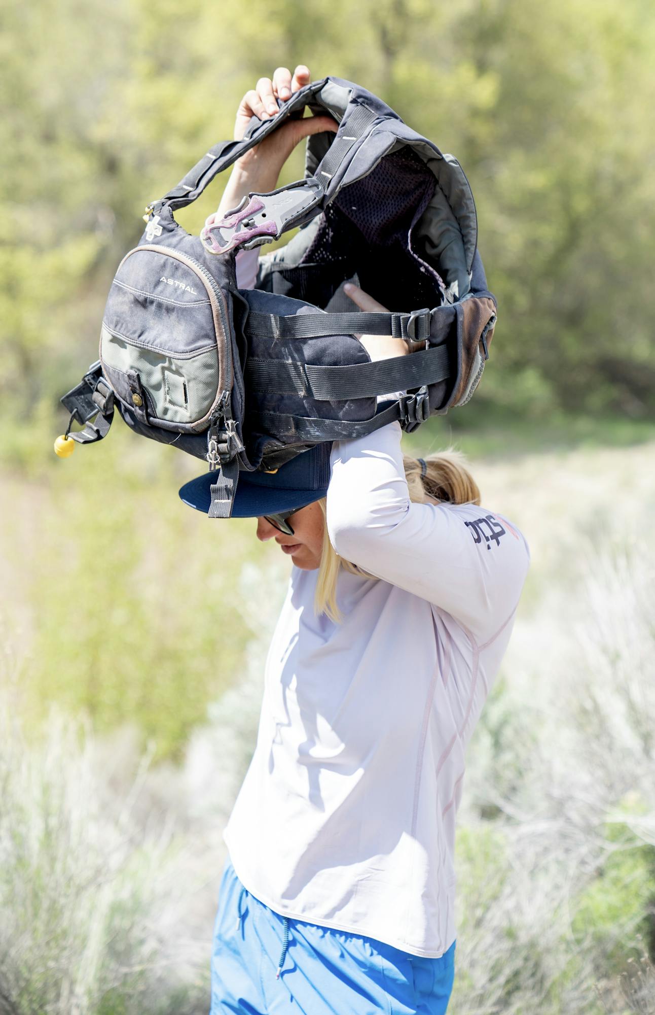
We headed south loaded with packrafts, PFDs that were still red with desert dirt from last fall’s Grand Canyon trip, and a tangle of river straps. Clear Creek Canyon is a narrow red rock oasis imbued with cottonwoods and sagebrush. It served as a seasonal travel route for the Fremont people for at least six hundred years, and potentially up to six thousand years. The largest known Fremont village, with over a hundred dwellings and granaries, was once situated on a hilltop overlooking the canyon.
Our first glimpse of Clear Creek came from the car. Despite a dry 85-degree day, cool, humid air greeted us as we stepped out of the vehicle, our senses thick with the earthy aroma of wet desert clay. The flooded Clear Creek ran anything but clear—ten feet wide and thundering through its channel like a city drainage ditch during a monsoon. I imagined where raindrops would rather fall—on sandstone and cryptobiotic crusts before joining this hurtling river, or on rooftops and pavement before draining into sub-city sewer lines. Chloe muttered a round of “Okay, hm, okay” that kicked out my musings and kicked off our safety conversation.
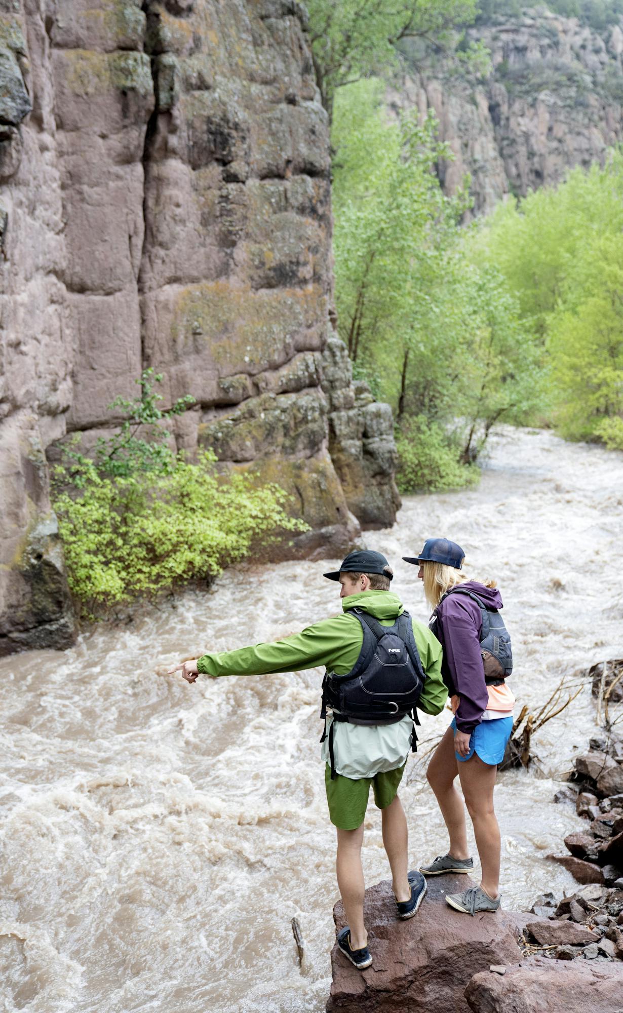
Red flags pinged in all of our heads and a familiar tickle of nerves crept into my chest. I flashed back to all the post-storm days this winter, assessing ski routes through avalanche terrain. Here, flooded cottonwoods hinted at the likelihood of downed wood in the river, there were no eddies in sight, and the torrent careened into cliffs and banks, running like it was going somewhere.
Without beta, we knew we’d need to scout every bend in the river, but without eddies, we wouldn’t be able to stop when needed; whether for a hazard, a scout or a swimmer. We decided on a preliminary hike along the 2.5 miles of creek we planned to paddle to identify any hazards and find safety zones. What we found was wild, but good—we considered the rapids to be Class 3 at max, didn’t see any riverwide hazards and found a few calm eddies where we’d be able to stop and reevaluate.
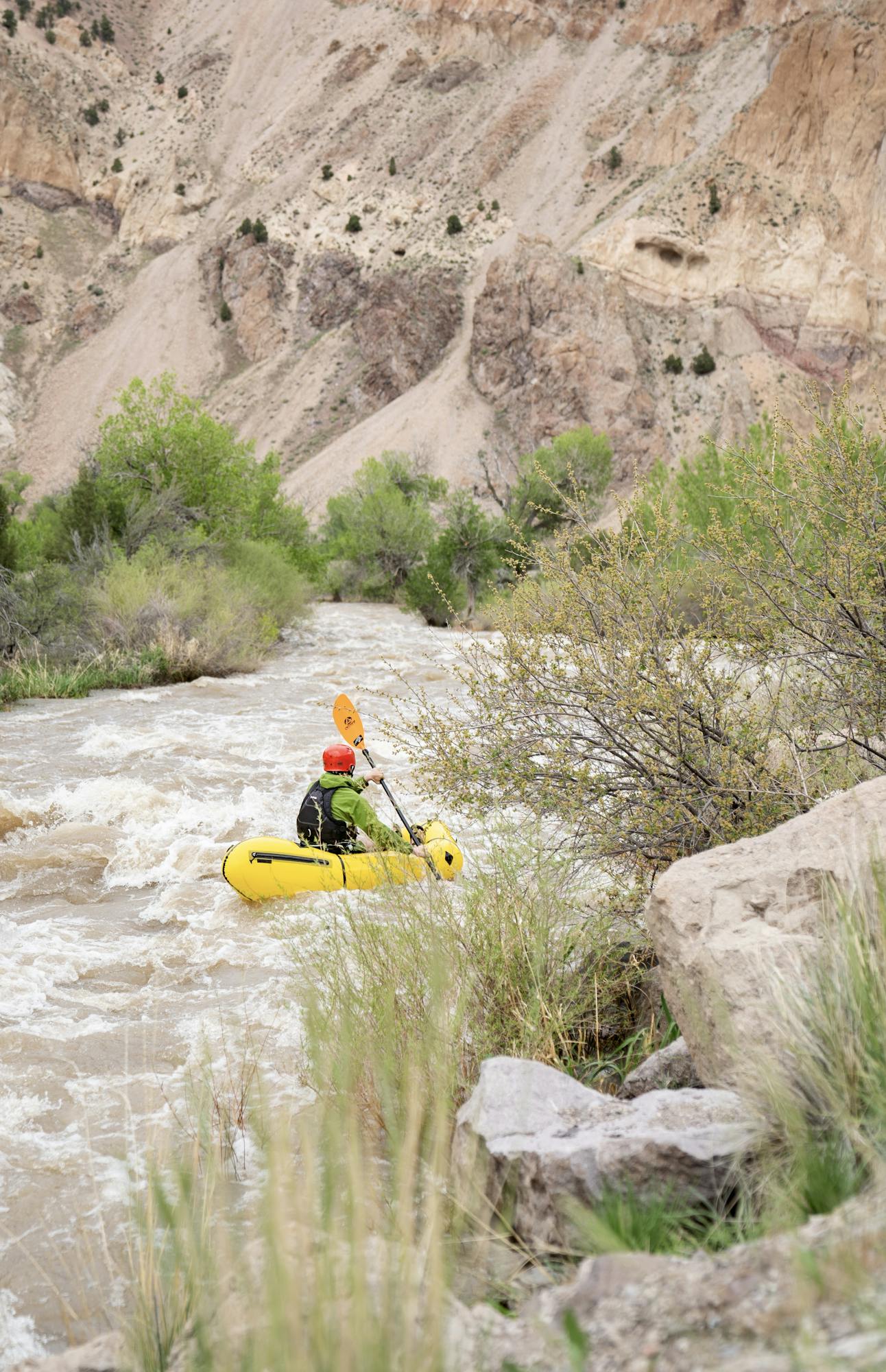
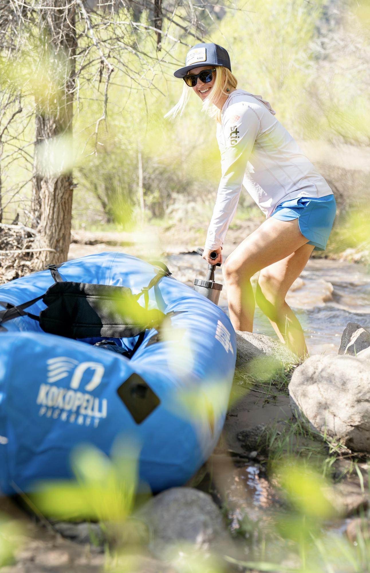
We pumped up our packrafts and dropped into the spindle of brown current. Hurtled downstream, we paddled in spurts to avoid obstacles and splash into waves, feeling a little like Frogger. We stopped in each of the few eddies for the chance to look downriver again. Careening like robbers on the run into a foxhole, we’d skirt laughing into the calm eddy water, grabbing for the nearest half-submerged cottonwood for a stationary rest. “Did you see…?!” “What about…!” Sharp cutbanks gaped where earth had given way to the flood. Roiling dirt water, too thick to drink and too thin to plow, as the pioneer saying goes, surged in and out of intricacies in the cliffside.
Thanks to our scout, we could anticipate the crux of our run. After a swift and narrow cliffside section, the creek took a quick turn to the right, with three river-wide drops. Any swim would be long and bumpy, through shallow rapids. An ugly boil, a churn of unruly water from some riverbed constriction, sat between the last drop and a fresh cutbank—we all agreed, not a place where we wanted to be.
As we hurtled down a cliffside alleyway, hearts raced a little faster and we all sat a little further forward, at the ready to maneuver through the drops and stay in our boats. Three bone-soaking splashes later, I stole a glance over my shoulder to see Ruben and Chloe smiling—three happy boaters.
Our run down Clear Creek was 2.5 miles, a quick run. With the river pumping at 329 CFS, 300% more than the typical May, we were hucking our packrafts up onto the road within an hour.
Clear Creek runs full charge to the Sevier River, and with plenty of daylight left, we ran that way too. The Sevier River is the longest river within the state of Utah, at 325 miles. But none of us had even heard of it until we started searching for obscure rivers to float. In the mountainous desert between the Great Basin and the Colorado Plateau, it drains an 11,200 square mile portion of Utah (larger than the state of Massachusetts). The Sevier is one of the most “used” rivers in the United States. This means that less than 1 percent of the total precipitation in the basin flows through without diversion for agriculture, industrial or domestic use. Water from the Sevier never reaches the ocean; instead, it drains into the sometimes non-existent Sevier Lake, near Utah’s border with Nevada.
We had a little bit of beta on this one: “at flows over 700 CFS, this becomes a Class IV run.” The gauge read 843 CFS, so we were excited to play. What we hadn’t been able to find online stood at the put-in: a crude map of the rapids. Big Daddy Mambo and Woman Playing Organ, plus a few more less name-drop-worthy rapids, awaited us downstream. Anxieties evolved into excitement with the comfort of some named rapids and the knowledge that the Sevier had already been run this spring.
This section of the Sevier River ran like an inflated version of Clear Creek. We had read that the Sevier is a shallow, rocky river, but with this spring’s enormous flows we found playful waves and mellow holes instead. One rapid ran into the next. The swollen river rolled over grass and tamarisk on the banks, so flooded that there were channels around cottonwoods.
What we didn’t see on the map was a low highway bridge crossing halfway through the run. Glued into the pace of the river, a split second of indecision locked us into floating under the bridge. Feeling caught in the flow, we laid back into our packrafts and watched the underside of the bridge speed by our noses.
A flooded highway pullout marked the end of our run. As we spun into the eddy, we kicked our feet out and laughed. Damn—that was a good day.
Ruben, Chloe and I sped to Richfield for tacos. Dinner conversation evolved from where we’d packraft next—where there might be another river swollen with snowmelt to explore—to how unbelievably grateful we all still felt for this record snow year.
Featuring Stio Ambassador
Top Stories
Check out all the Top stories
Follow us @stio
See how people are living the mountain life everyday in our gear.


